

Independent Advisory for Technical Diligence, Geospatial Verification, and Space-Sector Decision-Making
LU Frontier Strategies supports investors, strategic buyers, corporates, and institutions with technical diligence, geospatial verification, and focused space-sector analysis. We help clients assess whether sites, assets, companies, and opportunities are credible, decision-ready, and exposed to material execution or cross-border technology risk.
Three Types of Questions We Help Answer
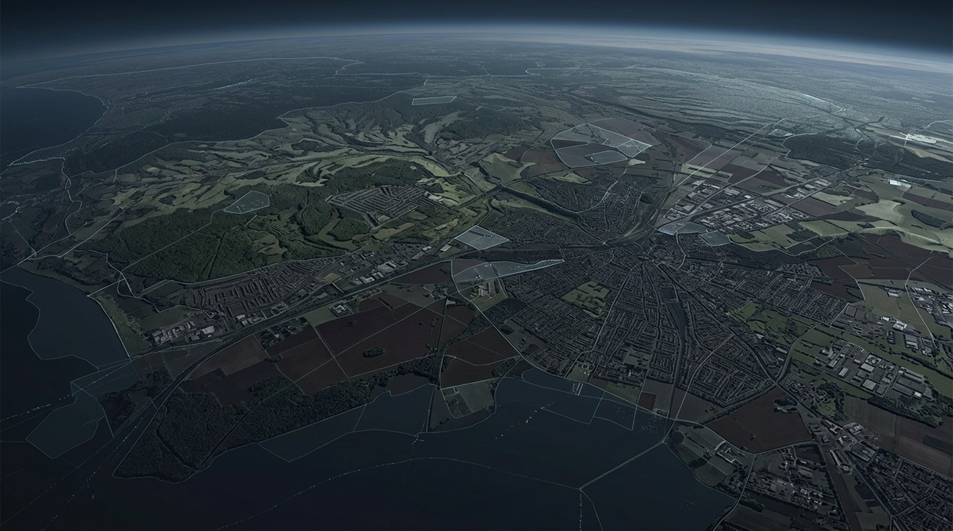
1. Verification: When access is limited, disclosures are incomplete, or independent evidence is needed, we use satellite imagery, spatial analysis, and structured research to assess sites, assets, environmental conditions, and observable activity.
2. Diligence: For investors, strategic buyers, and counterparties evaluating a space-related company or opportunity, we provide focused analysis on technical credibility, execution realism, commercialization readiness, and relevant cross-border technology risk factors.
3. Strategic Decision-making: For organizations engaging with the space sector, we support clearer judgment through company research, market intelligence, executive briefings, and decision-oriented strategic analysis.
Technical Due Diligence & Cross-Border Technology Risk Review
Focused support for investors, strategic buyers, and intermediaries assessing technical credibility, execution feasibility, commercialization readiness, and transaction-relevant cross-border technology risk in space-sector opportunities.
Geospatial Verification & Monitoring
Satellite-enabled analysis for site and asset verification, environmental and ESG screening, historical change review, and operational status assessment when independent evidence is needed.
Space Company & Market Intelligence
Decision-oriented research on companies, market segments, competitive positioning, and strategic themes across the space and satellite sector.
Executive briefings and tailored training sessions are also available for leadership teams, investors, and member groups.
Three Service Lines
Red-flag screening of a space-related investment opportunity
Independent review of technical claims and execution feasibility
Cross-border technology risk review linked to transaction structure or jurisdictional exposure
Satellite-based verification of industrial, infrastructure, or environmentally sensitive sites
Company and market intelligence for partnership, diligence, or strategy discussions
Executive briefings on satellite communications, Earth observation, and the commercial space sector
Typical Engagements

Who We Work With
Investors and family offices
Strategic buyers and corporate development teams
Financial advisors and transaction intermediaries
Telecom, infrastructure, and satellite-sector participants
Institutions seeking independent verification or sector analysis
Evidence, context, and judgment — in one place.
We combine geospatial evidence, space-sector understanding, and decision-oriented strategic analysis. This allows us to support clients not only in seeing what is happening but also in assessing why it matters and how it may affect a decision.
Geospatial evidence
from satellite imagery and spatial analysisIndustry understanding
of the space and satellite economyStrategic judgment
relevant to diligence, monitoring, and decision-making
Why LU Frontier Strategies
Research & Insights
We publish focused analysis on geospatial verification, remote sensing applications, space industry structure, company and market developments, and decision-relevant themes across the satellite and commercial space sector.
If you are assessing a diligence question, a verification need, or a strategic decision in the space sector, we would be glad to discuss the context confidentially.
Need an independent view on a site, company, market, or space-related opportunity?
LU FRONTIER STRATEGIES
© 2024-2026 LU Frontier Strategies. All rights reserved.
