
Disturbance & Compliance Screening uses satellite imagery, geospatial analysis, and spatial comparison to assess visible land disturbance, land-use change, encroachment, boundary-related issues, and other observable indicators relevant to site review. It is especially useful where a project, site, corridor, or asset needs structured external screening for visible change, potential non-alignment, or activity that may warrant closer review.
Disturbance & Compliance Screening
Satellite-Based Screening for EUDR-Related Land-Use Risk
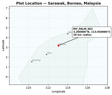
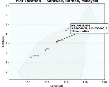
A geospatial review of a palm oil-related area in Sarawak, Malaysia, using Landsat imagery, vegetation-index comparison, and change detection.
The Situation
A due diligence review required an initial geospatial assessment of land-use conditions associated with a palm oil supply-chain context in Sarawak, Malaysia. The question was not whether satellite data alone could determine compliance, but whether remote evidence suggested obvious signs of recent vegetation loss or conditions requiring escalation.
What We Reviewed
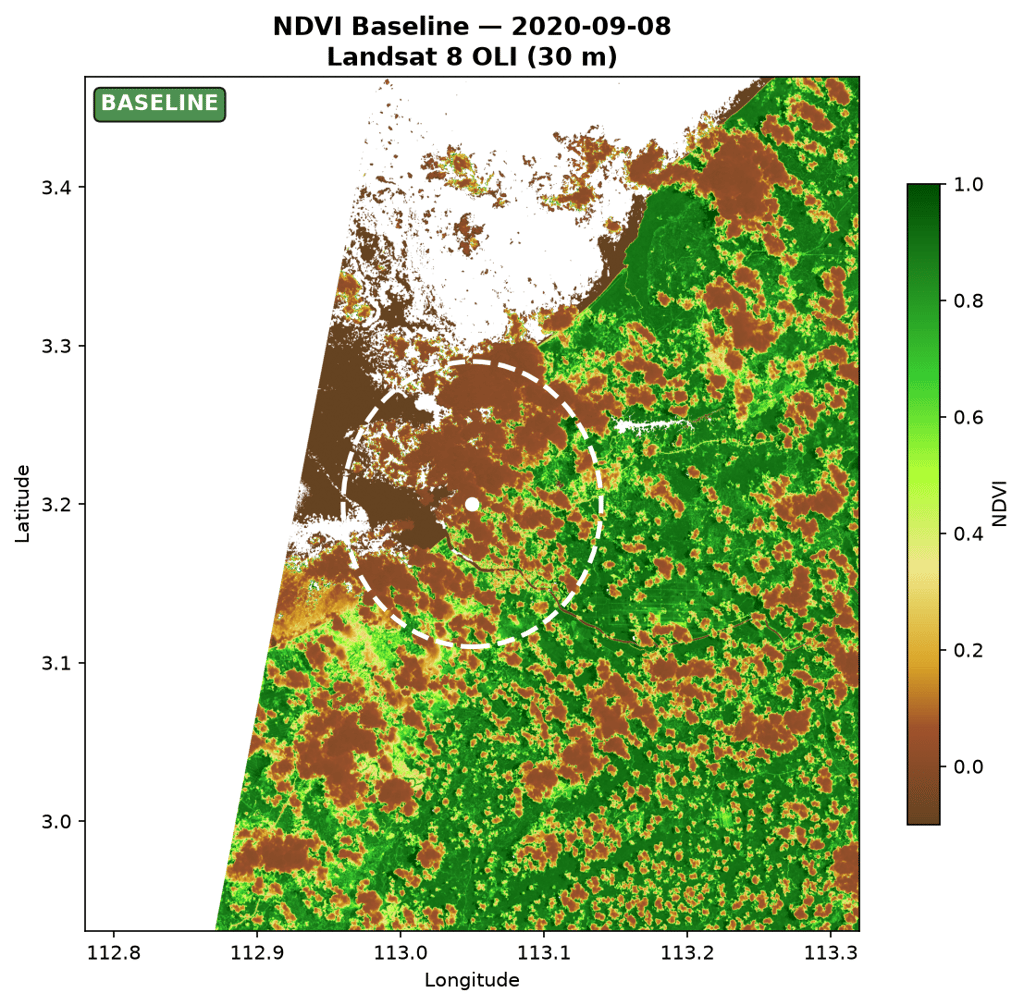
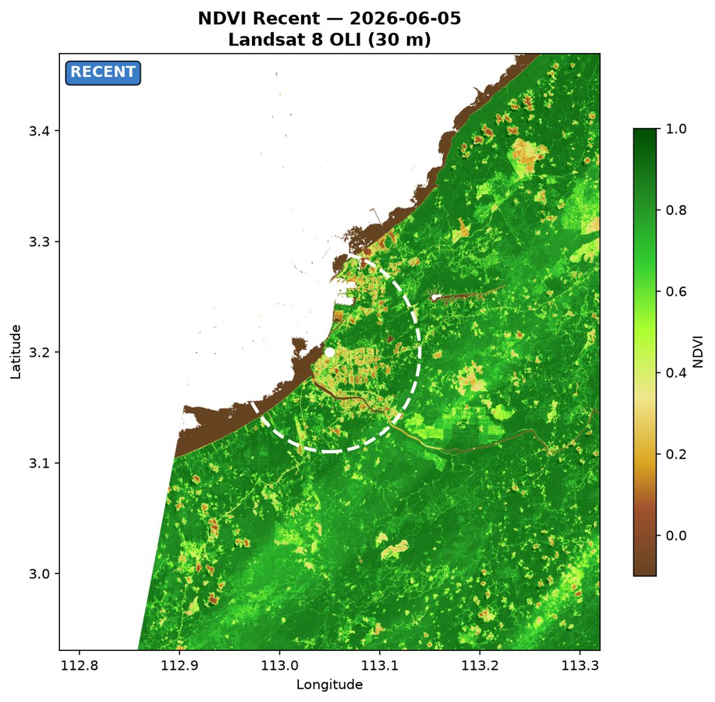
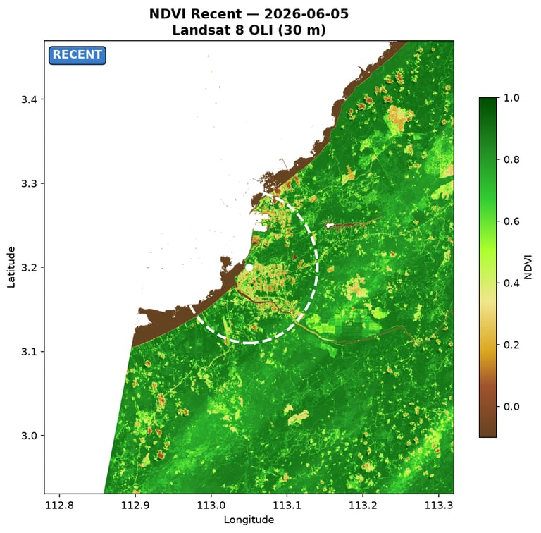
Baseline and recent Landsat 8/9 imagery
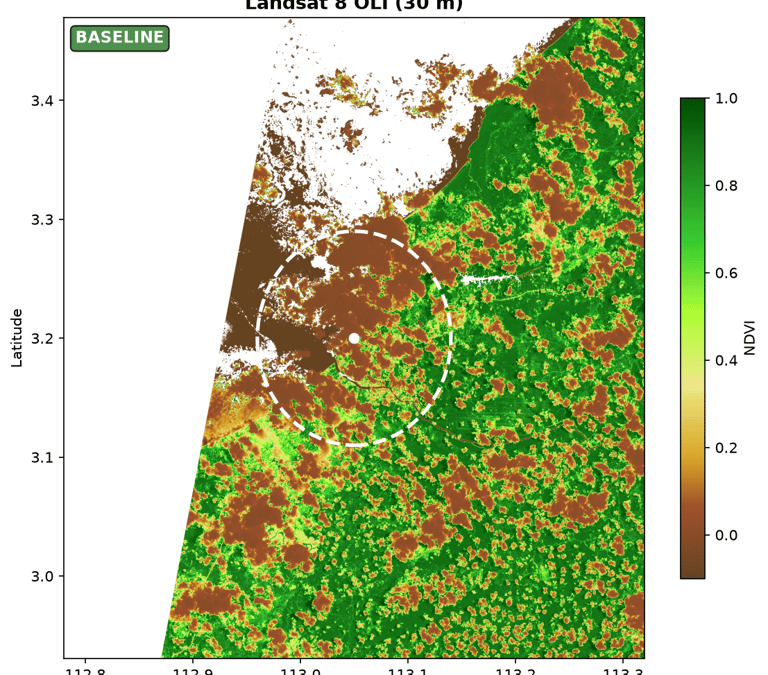
NDVI-based vegetation comparison
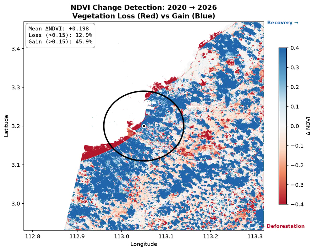
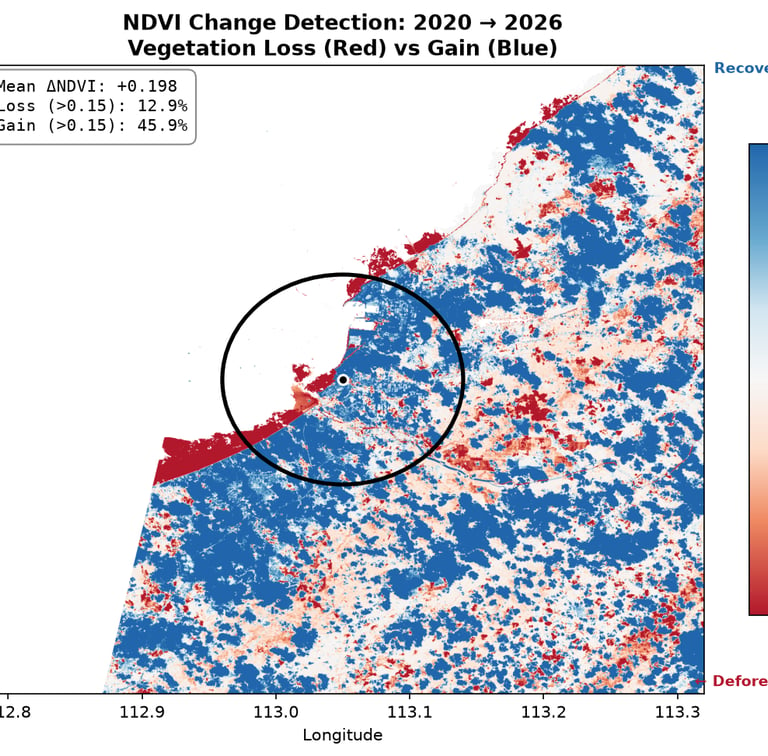
Pixel-level change detection
Time-series review of vegetation conditions
Initial contextual risk framing for follow-up judgment
What the Review Indicated
The screening did not show a dominant pattern of significant vegetation loss across the reviewed area. Variation was visible at local level, but the broader satellite signal did not indicate an obvious recent deforestation event at screening level. The result supported a preliminary view of no immediate red flag, while still recommending continued monitoring and selective higher-resolution follow-up.
Why This Matters
This type of work is useful when claims need to be checked, direct site access is limited, or a due diligence process would benefit from independent spatial review. It does not replace legal, documentary, or supply-chain assessment, but it can improve factual visibility and help identify where additional scrutiny is most justified.
Need a preliminary view of EUDR-related land-use risk?
We support screening workflows that help teams identify which locations may warrant deeper review, documentation, or escalation.
If the situation is complex, sensitive, or difficult to move forward with confidence, we would be glad to explore whether an initial conversation would be useful.
Discuss a project
LU FRONTIER STRATEGIES
© 2026 LU Frontier Strategies. All rights reserved.