
Historical change review examines how a site, corridor, landscape, or asset has evolved over time using satellite imagery and geospatial comparison. This can help clarify patterns of land-use change, construction, disturbance, expansion, inactivity, or other visible shifts relevant to diligence and monitoring.
Historical Change Review
Burn Scar and Land Disturbance Screening in Riau, Sumatra
A Sentinel-2 case study using burn severity, bare-soil change, and vegetation recovery metrics to assess 2019 fire damage and 2-year landscape recovery in a high-risk peatland region.
Our Approach
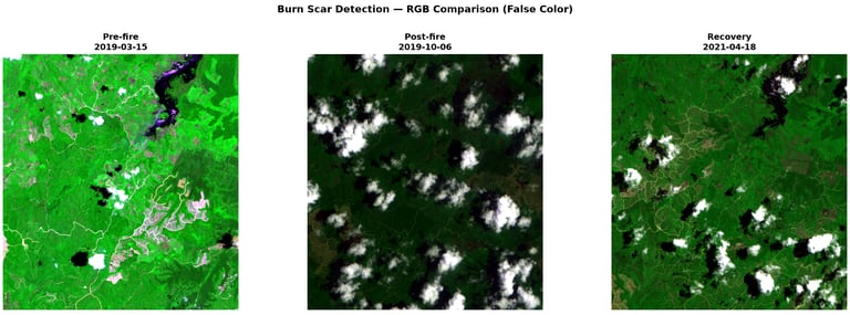
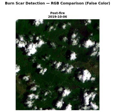
We applied a three-stage satellite workflow using pre-fire, post-fire, and recovery-period Sentinel-2 imagery.
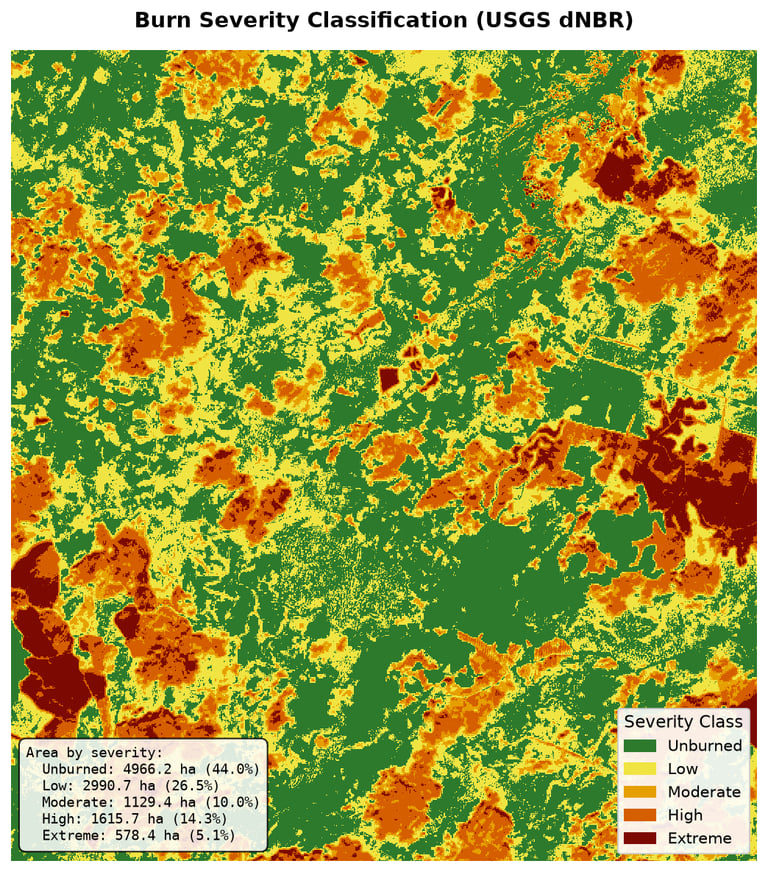
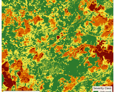
NBR and dNBR were used to identify and classify burned areas by severity
BSI was used to detect expansion of exposed soil and surface disturbance
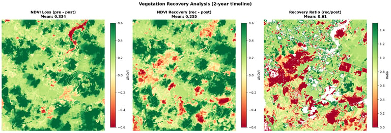
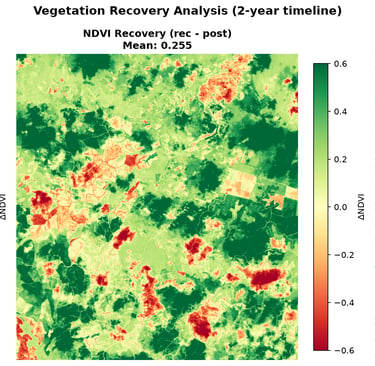
NDVI was used to measure vegetation loss immediately after the fire season and recovery by 2021
This multi-temporal design allowed us to assess not only fire impact, but also the pace and spatial variability of post-fire regrowth.
Why This Matters
This workflow provides a practical way to screen for fire-related land disturbance in palm oil and peatland regions where on-the-ground access is limited and compliance scrutiny is high.
Key Findings
6,314 ha burned across the 11,280 ha study area
2,194 ha classified as high or extreme severity
Mean NDVI fell 43% after the fire season
Vegetation recovered to 76.4% of baseline by 2021
Composite Disturbance Score: 73.8 / 100
Need to screen a sourcing landscape for fire-related disturbance?
We provide satellite-based land-risk assessments for due diligence and compliance workflows.
Intro
We used Sentinel-2 imagery to identify burn scars, classify fire severity, track bare-soil expansion, and measure vegetation recovery in Riau Province, Indonesia. The analysis found that 56% of the study area was affected during the 2019 fire season, with the most severe impacts concentrated in peat-influenced zones.
If the situation is complex, sensitive, or difficult to move forward with confidence, we would be glad to explore whether an initial conversation would be useful.
Discuss a project
LU FRONTIER STRATEGIES
© 2026 LU Frontier Strategies. All rights reserved.